When disaster strikes, one overlooked but deceptively critical aspect of incident management is data—especially on the roads. Traffic data can be used to pinpoint incidents and optimize routes, so there’s a lot of potential for making disaster relief more organized and efficient. Sharing data, however, can get complicated.
The Regional Transportation Management Center (RTMC) in Roseville, Minnesota, is an example of sharing data well on a small, local level. The building serves as a combined dispatch center for the Minnesota State Patrol, MnDOT maintenance, and MnDOT freeway operations, and this uniquely integrated system ensures that everyone has access to the data they need.
More than 800 traffic cameras on the metro area freeway system give RTMC dispatchers the ability to study traffic patterns and quickly locate incidents. MnDOT dispatchers also are linked to the Road and Weather Information System and the State Patrol Computer-Aided Dispatch, allowing them to track dangerous weather systems and coordinate their incident responses with State Patrol. In addition, this information can readily be shared with the public through MnDOT’s 511 website and app.
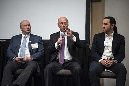
“That’s the idea with this integrated center,” said symposium speaker John McClellan, freeway operations supervisor at MnDOT. “It’s a coordinated response.”
On a larger scale, however, this integrated system of data sharing can become more difficult, particularly when private entities are involved.
The problem is not a lack of data. More trucks are being equipped with GPS trackers, traffic camera systems are getting increasingly sophisticated, and the overall flow of real-time data is increasing. Algorithms for modeling optimal routes and contingency plans are becoming more sophisticated as well, especially in the private sector through companies like Quetica Consulting and Engineering.

