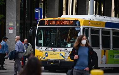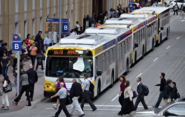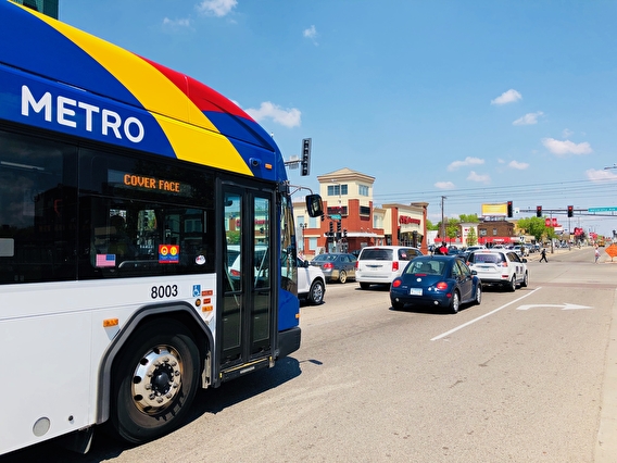
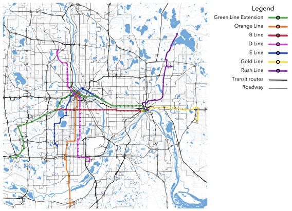
A project by U of M researchers looked at how five new transitways planned for the Twin Cities area will affect access to destinations other than work. Earlier studies have examined how the region’s transitway expansion will improve access to jobs, but that’s not the whole picture. In this study, researchers examined how the new transitways will shape access to grocery stores, health care facilities, and high schools for various demographics.
The new transitways considered in the study were:
- B Line Arterial BRT: South Minneapolis to downtown St. Paul
- D Line Arterial BRT: Brooklyn Center through Minneapolis and to Bloomington
- E Line Arterial BRT: U of M East Bank through downtown Minneapolis to Edina
- Gold Line Dedicated BRT: St. Paul to Woodbury, generally on a frontage road just north of I-94
- Rush Line Dedicated BRT: St. Paul to White Bear Lake along dedicated right-of-way
The researchers found that all five transitways improve access and travel times to grocery stores, health care, and high schools in the Twin Cities. “The B, D, E, Gold, and Rush Lines shave minutes off important trips for tens of thousands of people in the Twin Cities,” says Andrew Owen, researcher with the U’s Accessibility Observatory (AO) and the project’s principal investigator. “Those who benefit from the transitways are diverse across age, income, education, and race demographic groups.”
Owen adds that the benefits brought by each transitway depend on factors such as where destinations are in relation to the route, the route frequency, and the demographics of the neighborhoods near transitway stops.
Another finding is that people living where transit service is currently minimal experience the greatest benefit from the new transitways. “Places where existing transit service and new transitways meet create additional opportunity for residents to access more destinations in shorter travel times,” says Kristin Carlson, former AO researcher.
Other findings:
- Of residents living near future B, D, E, Gold, and Rush Line stops, those living near the D Line experience the greatest access improvement and shorter travel times as a result of the new line.
- The five transitways improve access to grocery stores for the most people compared to the other destinations (schools and health care facilities) that were measured.
- People of color experience shorter travel times to health care by 3 to 9 minutes across the five transitway corridors.
For the study, the research team calculated the minimum travel time to two destinations for each census block and each destination type. “Evaluating access to the second destination reflects the value of choice—or lack of choice—available to travelers,” Carlson explains. The transit calculations include time spent walking, waiting, transfers, and route frequency, among other details. Results were then analyzed by five demographic categories: age, education, monthly earnings, race, and sex.
Planners and policymakers can reuse the scenario evaluation tools and methods established in the project to analyze how access may respond to future changes in transit networks as well as to changes in the number and distribution of destinations.
In addition, the data and knowledge gained from this research could help policymakers target transit service improvements based on access and equity goals. “Neighborhoods where access to destinations improves most substantially should be considered for future development of affordable housing,” Owens says.
The project was funded by the Transitway Impacts Research Program.
